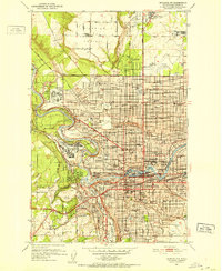
1950 Map of Spokane NW
USGS Topo · Published 1952About this map
Spokane River winds through the heart of this post-war landscape, carving a deep gorge that separates the urban core from the prominent heights of Five Mile Prairie. The city is depicted at a moment of significant institutional and military presence, anchored by the George Wright Air Force Base and the historic grounds of Fort Wright. Education and social infrastructure are densely mapped, featuring established campuses like Gonzaga University and Holy Names College, alongside specialized facilities such as the St Josephs Orphanage and the Trade School.
Find a feature on this map
188 named features on this map. Tap any name to fly to it.
Don’t see what you’re looking for? This feature index may not catch every label — zoom into the map to look around manually.
Map Details
Editions of this 1950 Spokane NW Map
2 editions found

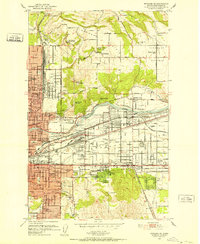
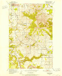
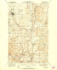
Other maps of this area

1901 · Spokane
USGS Topo · 1:125,000

1943 · Medical Lake
USGS Topo · 1:62,500

1944 · Clayton
USGS Topo · 1:62,500

1949 · Deer Park
USGS Topo · 1:62,500
1950 · Spokane NE
USGS Topo · 1:24,000
1950 · Spokane SE
USGS Topo · 1:24,000

1950 · Spokane SW
USGS Topo · 1:24,000

1950 · Spokane
USGS Topo · 1:62,500

1950 · Clayton
USGS Topo · 1:62,500
1951 · Deer Park
USGS Topo · 1:62,500