Loading...
Loading map...2022 Map of Fowlkes
USGS Topo · Published 2022About this map
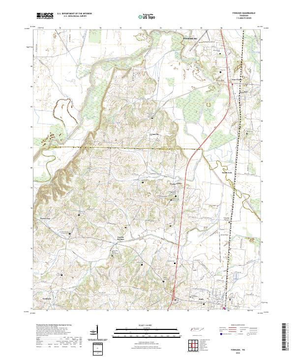
The Forked Deer River and its South Fork meander through this landscape on the border of Dyer and Lauderdale counties. The map captures a primarily agricultural region defined by small, dispersed settlements and a high density of family-named cemeteries. Locations like Unionville, Poplar Grove, and Double Bridges serve as community hubs, often centered around institutions such as Mount Vernon Baptist Church.
Find a feature on this map
116 named features on this map. Tap any name to fly to it.
Don’t see what you’re looking for? This feature index may not catch every label — zoom into the map to look around manually.
Map Details
Date Portrayed2022
Date Published2022
PublisherU.S. Geological Survey
Map TypeTopographic
Scale1:24000
Physical Dimensions24 x 29 inches
Editions of this 2022 Fowlkes Map
This is the sole edition of this map. No revisions or reprints were ever made.
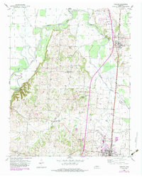
Historical Maps of Unionville Through Time
Featured Locations
Source Details
SourceU.S. Geological Survey
CopyrightPublic Domain