Loading...
Loading map...2022 Map of Fox
USGS Topo · Published 2022About this map
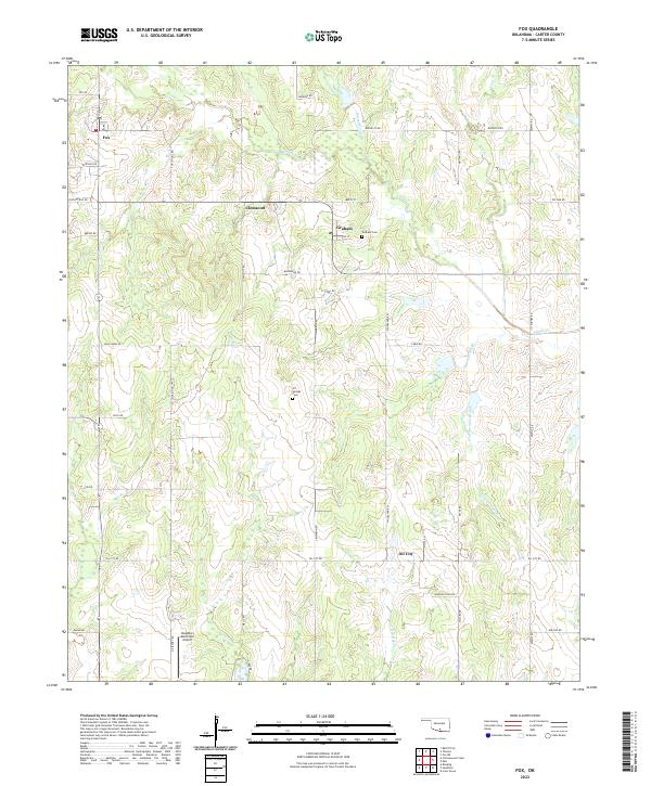
Fox and the surrounding Carter County oil fields are defined by a network of drainage branches and industrial access roads. The landscape is carved by Caddo Cr and its tributaries, including the curiously named Hug-me-tight Branch and Bear Cr. Small settlements like Graham, Clemscott, and Oil City serve as the primary hubs in a region otherwise characterized by isolated drilling sites and rural family landmarks.
Find a feature on this map
54 named features on this map. Tap any name to fly to it.
Don’t see what you’re looking for? This feature index may not catch every label — zoom into the map to look around manually.
Map Details
Date Portrayed2022
Date Published2022
PublisherU.S. Geological Survey
Map TypeTopographic
Scale1:24000
Physical Dimensions24 x 29 inches
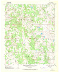
Editions of this 2022 Fox Map
This is the sole edition of this map. No revisions or reprints were ever made.
Historical Maps of Graham Through Time
Featured Locations
Source Details
SourceU.S. Geological Survey
CopyrightPublic Domain