2023 Map of Franklin
USGS Topo · Published 2023About this map
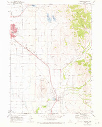
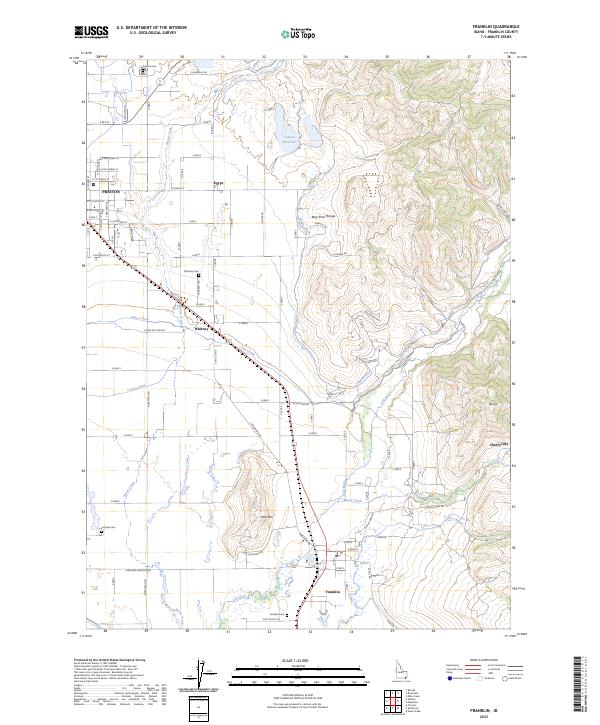
Agricultural irrigation systems define the landscape between Preston and the historic settlement of Franklin. A complex network of water management features, including the Upper Canal, Lower Canal, Cub Canal, and Middle Ditch, supports the valley floor, drawing from the Cub River and Maple Creek as they descend from the Bear River Range. This reliance on water engineering is central to the area's development, connecting larger towns with smaller rural communities like Whitney and Egypt.
Find a feature on this map
100 named features on this map. Tap any name to fly to it.
Don’t see what you’re looking for? This feature index may not catch every label — zoom into the map to look around manually.
Map Details
Editions of this 2023 Franklin Map
This is the sole edition of this map. No revisions or reprints were ever made.