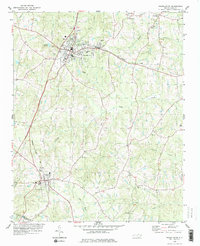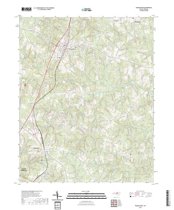
2022 Map of Franklinton
USGS Topo · Published 2022About this map
The town of Franklinton serves as a central hub in this part of Franklin Co, where the landscape transitions from the residential streets of the town center to the winding creeks and agricultural expanses of the surrounding countryside. Further south, Youngsville marks the southern extent of the survey near the border with Wake Co. The area is defined by its water systems, including the Franklinton Reservoir and the headwaters of the Little River, which meander through a terrain punctuated by small crossroads like Needmore and Mitchiners Crossroads. Genealogists will find notable detail in the marking of the Evergreen Cem in Franklinton and the Youngsville Town Cem, providing clear spatial context for local family histories. The layout of roads like Bert Winston Rd and Long Mill Rd reflects a long-standing network connecting rural homesteads to the primary municipal centers.
Find a feature on this map
160 named features on this map. Tap any name to fly to it.
Don’t see what you’re looking for? This feature index may not catch every label — zoom into the map to look around manually.
Map Details
Editions of this 2022 Franklinton Map
This is the sole edition of this map. No revisions or reprints were ever made.