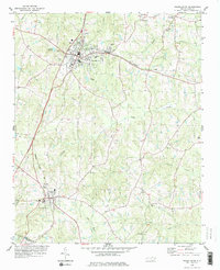
1978 Map of Franklinton
USGS Topo · Published 1978About this map
The Seaboard Coast Line railroad forms the industrial spine of this North Carolina landscape, anchoring the parallel growth of Franklinton and Youngsville. The transition from rural crossroad communities to established towns is evident in the dense concentration of civic infrastructure, including the Filtration Plant, Sewage Disposal facility, and the Armory. Beyond the town centers, the terrain is defined by a network of small watercourses like Cedar Creek and Camping Creek, where family-named landmarks and country churches served as the social anchors for generations of residents.
Find a feature on this map
39 named features on this map. Tap any name to fly to it.
Don’t see what you’re looking for? This feature index may not catch every label — zoom into the map to look around manually.
Map Details
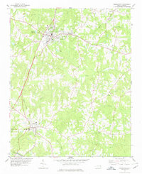
Editions of this 1978 Franklinton Map
2 editions found
Other maps of this area

1943 · Raleigh
USGS Topo · 1:62,500

1943 · Creedmoor
USGS Topo · 1:62,500

1944 · Creedmoor
USGS Topo · 1:62,500

1951 · Raleigh
USGS Topo · 1:62,500

1953 · Raleigh
USGS Topo · 1:250,000

1953 · Greensboro
USGS Topo · 1:250,000

1954 · Greensboro
USGS Topo · 1:250,000

1954 · Raleigh
USGS Topo · 1:250,000

1962 · Greensboro
USGS Topo · 1:250,000

1966 · Greensboro
USGS Topo · 1:250,000