
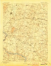
1893 Map of Frederick
USGS Topo · Published 1893About this map
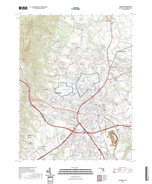
Sugar Loaf Mtn. rises as a prominent landmark in this late 19th-century landscape, overlooking a network of trade and transit that defined central Maryland. The Potomac River serves as the southern artery, shadowed by the Chesapeake and Ohio Canal and dotted with historic crossings like Nolands Ferry and Edwards Ferry. This era shows the dominance of the Baltimore & Ohio R. R., which links agricultural hubs such as Buckeystown and Adamstown to larger centers like Frederick and Rockville.
Find a feature on this map
176 named features on this map. Tap any name to fly to it.
Don’t see what you’re looking for? This feature index may not catch every label — zoom into the map to look around manually.
Map Details
Editions of this 1893 Frederick Map
This is the sole edition of this map. No revisions or reprints were ever made.
Historical Maps of Germantown Through Time
12 maps found
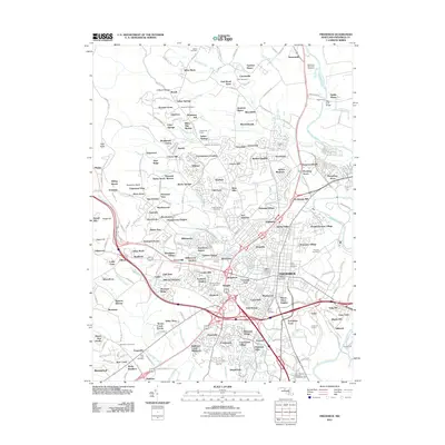
1893 Frederick
Frederick County, MD
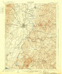
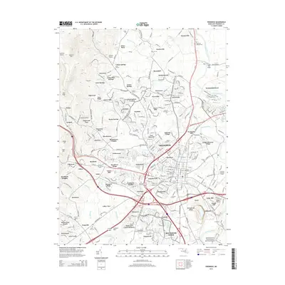
1894 Frederick
Frederick County, MD
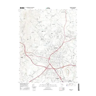
1909 Frederick
Frederick County, MD

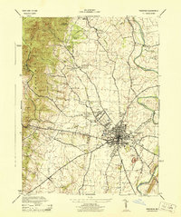
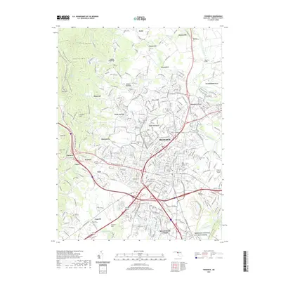
1942 Frederick
Frederick County, MD
1944 Frederick
Frederick County, MD
1953 Frederick
Frederick County, MD

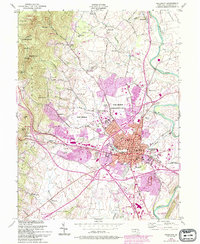
1984 Frederick
Frederick County, MD
2011 Frederick
Frederick County, MD
2014 Frederick
Frederick County, MD
2016 Frederick
Frederick County, MD
2019 Frederick
Frederick County, MD
2023 Frederick
Frederick County, MD