
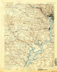
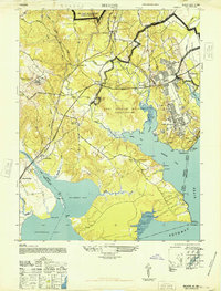
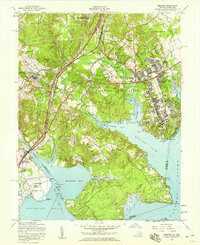
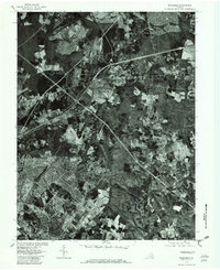
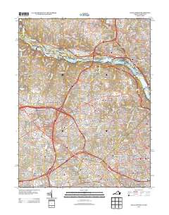
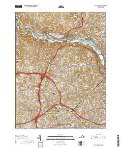
1890 Map of Mt. Vernon
USGS Topo · Published 1890About this map
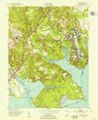
The Potomac River corridor south of the capital serves as the central artery of this late nineteenth-century landscape, capturing a critical era of post-war growth across Northern Virginia and Southern Maryland. The survey illustrates a decentralized network of agrarian settlements and growing railroad stops like Silver Spr. Sta. and Herndon. In the District, the dense street grid of Washington is visible alongside critical infrastructure like the Receiving Reservoir, while to the south, the riverfront is defined by ancestral estates and fortifications, most notably Mt. Vernon and Fort Washington. The terrain is characterized by intricate drainage systems, with long-established crossing points and communities along Occoquan Creek and Difficult Run. From the heights of Arlington to the burgeoning junctions at Manassas and Alexandria, the map documents a region transitioning from its mid-century military legacy toward modern suburbanization and commerce.
Find a feature on this map
95 named features on this map. Tap any name to fly to it.
Don’t see what you’re looking for? This feature index may not catch every label — zoom into the map to look around manually.
Map Details
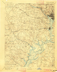
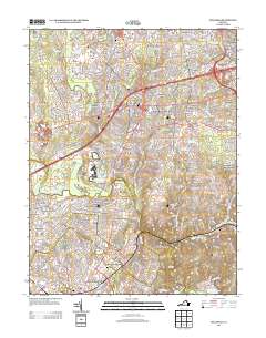
Editions of this 1890 Mt. Vernon Map
This is the sole edition of this map. No revisions or reprints were ever made.
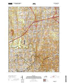
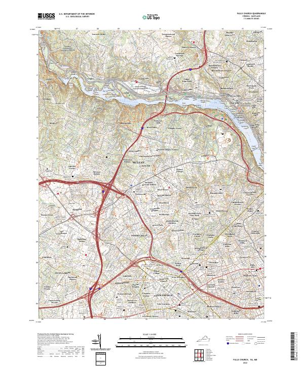
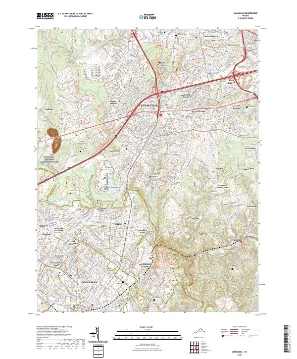
Historical Maps of Washington Through Time
29 maps found
1890 Mt. Vernon
Fairfax County, VA

1891 Mt. Vernon
Fairfax County, VA
1894 Mt. Vernon
Fairfax County, VA
1897 Mt. Vernon
Fairfax County, VA
1944 Belvoir
Fairfax County, VA
1945 Falls Church
Fairfax County, VA
1948 Belvoir
Fairfax County, VA
1951 Belvoir
Fairfax County, VA
1951 Falls Church
Fairfax County, VA
1951 Manassas
Fairfax County, VA
1956 Belvoir
Fairfax County, VA
1956 Falls Church
Fairfax County, VA

1957 Manassas
Fairfax County, VA
1965 Falls Church
Fairfax County, VA
1966 Manassas
Fairfax County, VA
1977 Manassas
Fairfax County, VA

1990 Manassas
Fairfax County, VA
1994 Falls Church
Fairfax County, VA
1994 Manassas
Fairfax County, VA
2011 Falls Church
Fairfax County, VA

2011 Manassas
Fairfax County, VA
2013 Falls Church
Fairfax County, VA
2013 Manassas
Fairfax County, VA
2016 Falls Church
Fairfax County, VA
2016 Manassas
Fairfax County, VA
2019 Falls Church
Fairfax County, VA
2019 Manassas
Fairfax County, VA
2022 Falls Church
Fairfax County, VA
2022 Manassas
Fairfax County, VA