2023 Map of Fredericksburg
USGS Topo · Published 2023About this map
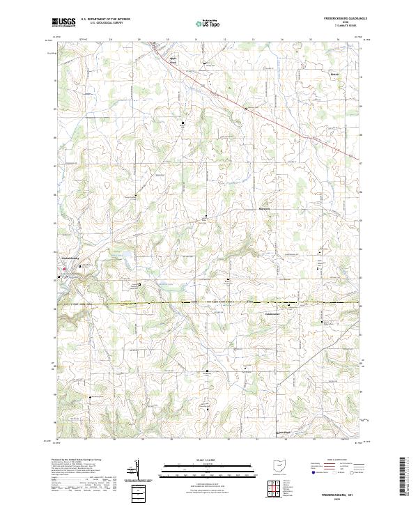
Fredericksburg and Apple Creek anchor this detailed survey of the borderlands between Wayne and Holmes counties. The landscape is defined by the headwaters of Salt Creek and several branches of Apple Creek, with small settlements like Maysville, Kidron, and Calamoutier connected by a dense network of township roads and county highways. The area's deep agricultural and family history is evident in the numerous private burial grounds and farm cemeteries that dot the countryside, including the Peter Miller Farm Cem, Joseph Helmuth Farm Cem, and Noah Petersheim Cem.
Find a feature on this map
103 named features on this map. Tap any name to fly to it.
Don’t see what you’re looking for? This feature index may not catch every label — zoom into the map to look around manually.
Map Details
Editions of this 2023 Fredericksburg Map
This is the sole edition of this map. No revisions or reprints were ever made.
Historical Maps of Wayne County Through Time
1 maps found