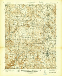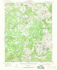
1947 Map of Fredericktown
USGS Topo · Published 1970About this map
The St Joseph Lead Mines and the historic operations at Mine La Motte dominate this 1940s landscape, reflecting the heavy industrial heritage of the Old Lead Belt. The Missouri Pacific railroad provides the vital transit link through the rugged St. Francois Mountains, connecting the regional hub of Fredericktown with smaller mining settlements like Slabtown and Syenite. This survey documents a transition in Missouri's lead-mining economy, where massive corporate holdings and smaller prospects like Sebastian Mine and the Catherine Mines operated alongside established agricultural townships.
Find a feature on this map
99 named features on this map. Tap any name to fly to it.
Don’t see what you’re looking for? This feature index may not catch every label — zoom into the map to look around manually.
Map Details
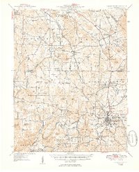
Editions of this 1947 Fredericktown Map
This is the sole edition of this map. No revisions or reprints were ever made.
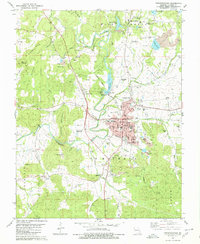
Historical Maps of Farmington Through Time
8 maps found