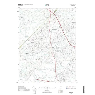
2019 Map of Freehold
USGS Topo · Published 2019About this map
Freehold and its surrounding townships are presented here in a high-detail study of Central Jersey's interior suburban and rural landscapes. The map provides a precise record of the county seat's civic center, anchored by the Monmouth County Courthouse, while tracing a historical network of settlement nodes that speak to the area's agricultural and industrial past. Communities like Tennent, Englishtown, and Yorketown appear alongside a series of historical mill locations including Mounts Mills, Clarks Mills, and Taylors Mills. The landscape is intricately carved by numerous waterways such as Matchaponix Brook and Wemrock Brook, which drain into significant local reservoirs like Lake Topanemus. Genealogists and local historians will find the inclusion of the Old Scots Cem and Maplewood Cem particularly valuable for documenting family histories in these long-established Monmouth County communities.
Find a feature on this map
45 named features on this map. Tap any name to fly to it.
Don’t see what you’re looking for? This feature index may not catch every label — zoom into the map to look around manually.
Map Details
Editions of this 2019 Freehold Map
This is the sole edition of this map. No revisions or reprints were ever made.
Other maps of this area

1888 · New Brunswick
USGS Topo · 1:62,500

1888 · Asbury Park
USGS Topo · 1:62,500

1888 · Cassville
USGS Topo · 1:62,500

1888 · Sandy Hook
USGS Topo · 1:62,500

1893 · New Brunswick
USGS Topo · 1:62,500

1893 · Sandy Hook
USGS Topo · 1:62,500

1893 · Asbury Park
USGS Topo · 1:62,500

1894 · Cassville
USGS Topo · 1:62,500

1900 · Cassville
USGS Topo · 1:62,500

1901 · New Brunswick
USGS Topo · 1:62,500
Featured Places
- Old Bridge Township, NJ
- Monroe Township, NJ
- Marlboro Township, NJ
- Manalapan Township, NJ
- Freehold Township, NJ