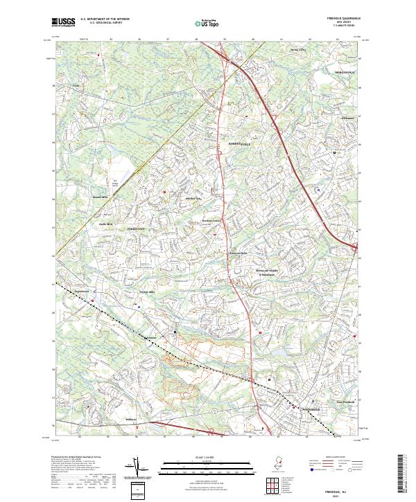
2023 Map of Freehold
USGS Topo · Published 2023About this map
Freehold and the surrounding Monmouth County countryside are defined by a complex network of residential growth interwoven with deep historical roots. The landscape is dotted with legacies of early settlement, such as the Old Tennent Cem near Tennent and the Old-Scots Cem further north, which point to the region's long colonial and ecclesiastical history. As the county seat, Freehold remains a focal point of civil life, anchored by the Monmouth County Courthouse and a dense street grid that contrasts with the suburban expansions of Monmouth Heights at Manalapan and Whittier Oaks.
Find a feature on this map
47 named features on this map. Tap any name to fly to it.
Don’t see what you’re looking for? This feature index may not catch every label — zoom into the map to look around manually.
Map Details
Editions of this 2023 Freehold Map
This is the sole edition of this map. No revisions or reprints were ever made.
Other maps of this area

1888 · New Brunswick
USGS Topo · 1:62,500

1888 · Asbury Park
USGS Topo · 1:62,500

1888 · Cassville
USGS Topo · 1:62,500

1888 · Sandy Hook
USGS Topo · 1:62,500

1893 · New Brunswick
USGS Topo · 1:62,500

1893 · Sandy Hook
USGS Topo · 1:62,500

1893 · Asbury Park
USGS Topo · 1:62,500

1894 · Cassville
USGS Topo · 1:62,500

1900 · Cassville
USGS Topo · 1:62,500

1901 · New Brunswick
USGS Topo · 1:62,500
Featured Places
- Old Bridge Township, NJ
- Monroe Township, NJ
- Marlboro Township, NJ
- Manalapan Township, NJ
- Freehold Township, NJ