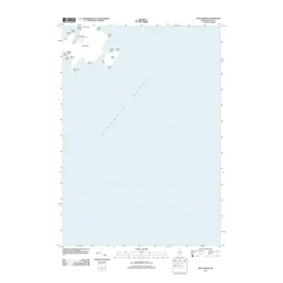
2011 Map of Frenchboro
USGS Topo · Published 2011About this map
Frenchboro serves as the primary coastal settlement on Long Island, situated at the northern edge of this island landscape in Hancock County. The island's geography is defined by a series of rocky protrusions and coves, including Western Point, Lookout Point, and Yellow Head. A small network of local roads, such as Shore Rd and Upper Rd, provides access within the village, connecting it to the surrounding natural features.
Find a feature on this map
23 named features on this map. Tap any name to fly to it.
Don’t see what you’re looking for? This feature index may not catch every label — zoom into the map to look around manually.
Map Details
Editions of this 2011 Frenchboro Map
This is the sole edition of this map. No revisions or reprints were ever made.
Other maps of this area

1904 · Swan Island
USGS Topo · 1:62,500

1943 · Swans Island
USGS Topo · 1:62,500

1945 · Swans Island
USGS Topo · 1:62,500

1948 · Bangor
USGS Topo · 1:250,000

1948 · Bath
USGS Topo · 1:250,000

1956 · Bangor
USGS Topo · 1:250,000

1956 · Bath
USGS Topo · 1:250,000

1957 · Bath
USGS Topo · 1:250,000

1958 · Bath
USGS Topo · 1:250,000

1960 · Bangor
USGS Topo · 1:250,000