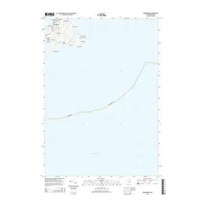
2014 Map of Frenchboro
USGS Topo · Published 2014About this map
Long Island serves as the central landmass for the remote community of Frenchboro, situated within the expansive waters of the Atlantic Ocean. This maritime landscape is defined by its deeply indented coastline, where Southern Cove and Western Cove provide sheltered waters south of the primary settlement. The island's geography is marked by distinctive elevations and coastal landmarks such as Yellow Head and Bluff Head, which have long served as navigational aids for local mariners.
Find a feature on this map
30 named features on this map. Tap any name to fly to it.
Don’t see what you’re looking for? This feature index may not catch every label — zoom into the map to look around manually.
Map Details
Editions of this 2014 Frenchboro Map
This is the sole edition of this map. No revisions or reprints were ever made.
Other maps of this area

1904 · Swan Island
USGS Topo · 1:62,500

1943 · Swans Island
USGS Topo · 1:62,500

1945 · Swans Island
USGS Topo · 1:62,500

1948 · Bangor
USGS Topo · 1:250,000

1948 · Bath
USGS Topo · 1:250,000

1956 · Bangor
USGS Topo · 1:250,000

1956 · Bath
USGS Topo · 1:250,000

1957 · Bath
USGS Topo · 1:250,000

1958 · Bath
USGS Topo · 1:250,000

1960 · Bangor
USGS Topo · 1:250,000