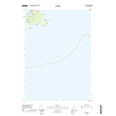
2021 Map of Frenchboro
USGS Topo · Published 2021About this map
Long Island and its isolated settlement of Frenchboro anchor this coastal survey, showing the intricate geography of the outer islands of Hancock County. The village is clustered around Lunt Harbor, shielded from the open Atlantic Ocean by Harbor Island. The island’s topography is defined by its rocky perimeter, featuring prominent landmarks like Yellow Head to the northeast and Bluff Head to the south. A small network of roads, including Shore Rd and High Rd, serves the community near the harbor, while the remainder of the island remains largely undeveloped, characterized by natural features like the Salt Ponds and various coves. Researchers will find a detailed layout of the shoreline, from Whale Beach down to Southwest Point, illustrating how the maritime environment dictates the island's small-scale settlement pattern and road placement.
Find a feature on this map
31 named features on this map. Tap any name to fly to it.
Don’t see what you’re looking for? This feature index may not catch every label — zoom into the map to look around manually.
Map Details
Editions of this 2021 Frenchboro Map
This is the sole edition of this map. No revisions or reprints were ever made.
Other maps of this area

1904 · Swan Island
USGS Topo · 1:62,500

1943 · Swans Island
USGS Topo · 1:62,500

1945 · Swans Island
USGS Topo · 1:62,500

1948 · Bangor
USGS Topo · 1:250,000

1948 · Bath
USGS Topo · 1:250,000

1956 · Bangor
USGS Topo · 1:250,000

1956 · Bath
USGS Topo · 1:250,000

1957 · Bath
USGS Topo · 1:250,000

1958 · Bath
USGS Topo · 1:250,000

1960 · Bangor
USGS Topo · 1:250,000