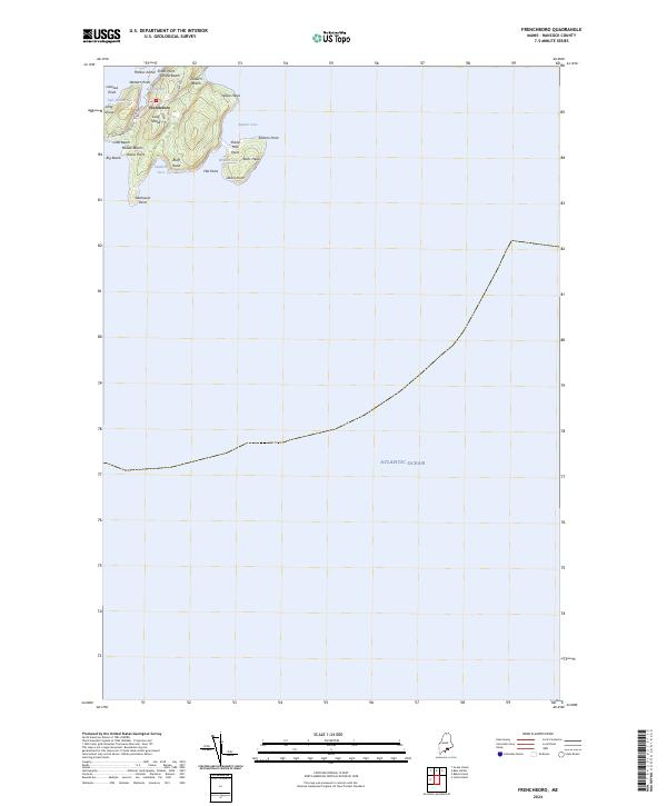
2024 Map of Frenchboro
USGS Topo · Published 2024About this map
Frenchboro serves as the primary settlement on this isolated maritime landscape, concentrated around the sheltered waters of Lunt Harbor. Located on Long Island in the Gulf of Maine, the community's layout is defined by a handful of local thoroughfares including Shore Rd, Upper Rd, and Gooseberry Point Rd. The island's perimeter is a succession of distinct coastal features, from the dramatic elevation of Yellow Head and Bluff Head to the tidal environment of the Salt Ponds near Lookout Point.
Find a feature on this map
30 named features on this map. Tap any name to fly to it.
Don’t see what you’re looking for? This feature index may not catch every label — zoom into the map to look around manually.
Map Details
Editions of this 2024 Frenchboro Map
This is the sole edition of this map. No revisions or reprints were ever made.
Other maps of this area

1904 · Swan Island
USGS Topo · 1:62,500

1943 · Swans Island
USGS Topo · 1:62,500

1945 · Swans Island
USGS Topo · 1:62,500

1948 · Bangor
USGS Topo · 1:250,000

1948 · Bath
USGS Topo · 1:250,000

1956 · Bangor
USGS Topo · 1:250,000

1956 · Bath
USGS Topo · 1:250,000

1957 · Bath
USGS Topo · 1:250,000

1958 · Bath
USGS Topo · 1:250,000

1960 · Bangor
USGS Topo · 1:250,000