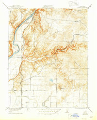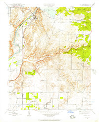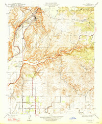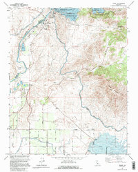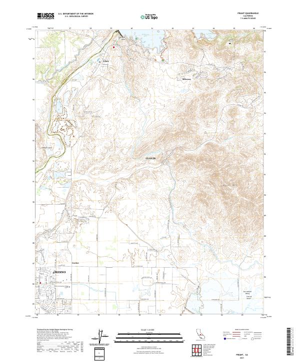
2021 Map of Friant
USGS Topo · Published 2021About this map
Millerton Lake and the San Joaquin River anchor this landscape along the border of Madera and Fresno counties. The complex water management systems of the San Joaquin Valley are on full display, featuring the Friant-Kern Canal, Madera Canal, and Enterprise Canal as they divert water for the region's agricultural needs. This 2021 survey shows the northward expansion of the Fresno and Clovis metropolitan areas, including institutional developments like the Clovis Community College Center. High-relief terrain features such as Owens Mtn and Mariners Point rise above the residential growth in Millerton and Friant. Researchers can trace the modern road network alongside historic landmarks like the Winchell Cove Cem, providing a clear view of how these foothills have transitioned from rural outposts to suburban communities.
Find a feature on this map
77 named features on this map. Tap any name to fly to it.
Don’t see what you’re looking for? This feature index may not catch every label — zoom into the map to look around manually.
Map Details
Editions of this 2021 Friant Map
This is the sole edition of this map. No revisions or reprints were ever made.
Historical Maps of Fresno Through Time
5 maps found