2022 Map of Friendship
USGS Topo · Published 2022About this map
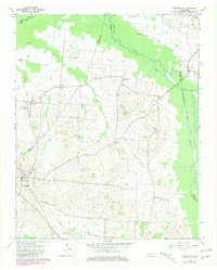
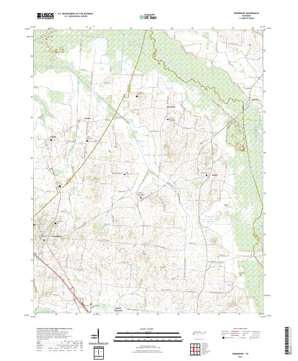
Friendship serves as a local anchor in this West Tennessee landscape, where the flatlands are defined by the winding paths of the North Fork Forked Deer River and Middle Fork Forked Deer River. The area is characterized by numerous small, family-named settlements like Tigrett, Stokes, Elizabeth, and Eaton, many of which developed around crossroads and rural religious centers. The concentration of cemetery and church sites, including Elizabeth Methodist Church Cem and Williams Chapel Baptist Church Cem, provides a significant record of the community’s social and genealogical fabric.
Find a feature on this map
93 named features on this map. Tap any name to fly to it.
Don’t see what you’re looking for? This feature index may not catch every label — zoom into the map to look around manually.
Map Details
Editions of this 2022 Friendship Map
This is the sole edition of this map. No revisions or reprints were ever made.