2022 Map of Frytown
USGS Topo · Published 2022About this map
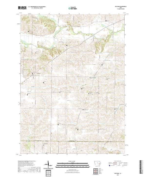
Sharon Center and Frytown serve as the primary anchors for this rural landscape along the boundary between Johnson and Washington counties. The area is characterized by a dense network of family and denominational burial grounds, such as the Fairview Mennonite Cem, South Gingerich Mennonite Cem, and Saint Johns German Lutheran Cem, which underscore the region's deep German and Mennonite heritage. Waterways including Old Mans Creek, Dirty Face Creek, and Picayune Creek wind through the township sections, dictating the placement of early roads like Black Diamond Rd SW and the Orval Yoder Tpke SW. The map documents a landscape defined by small-scale agrarian settlement patterns, where many intersections are marked by long-standing community landmarks like the Sharon Center Cem and Frytown Cemetery.
Find a feature on this map
71 named features on this map. Tap any name to fly to it.
Don’t see what you’re looking for? This feature index may not catch every label — zoom into the map to look around manually.
Map Details
Editions of this 2022 Frytown Map
This is the sole edition of this map. No revisions or reprints were ever made.
Historical Maps of Union Township Through Time
1 maps found