2024 Map of Furman
USGS Topo · Published 2024About this map
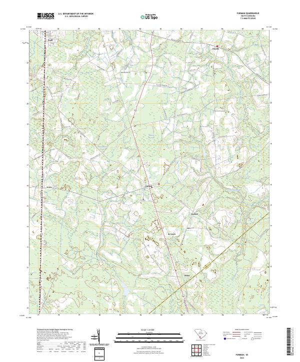
Furman sits at the heart of this Lowcountry landscape, where the border between Hampton Co and Jasper Co cuts through the southern reaches of the quadrangle. The area is defined by its intricate drainage networks, including the meandering Black Swamp and several family-named water bodies such as Johnson Big Pond and Steep Bottom Pond. The settlement pattern follows established corridors like Two Sisters Ferry Rd and Mount Carmel Rd, connecting small communities such as Nixville, Stafford, and De Loach. To the northwest, the town of Estill and the smaller settlement of Scotia anchor the road network. This modern survey illustrates the persistent rural character of the region, where legacy names like Deloach Cemetary Rd and Chocolate City Rd provide vital clues for local historians and genealogists tracing family footprints through these South Carolina pinelands and wetlands.
Find a feature on this map
74 named features on this map. Tap any name to fly to it.
Don’t see what you’re looking for? This feature index may not catch every label — zoom into the map to look around manually.
Map Details
Editions of this 2024 Furman Map
This is the sole edition of this map. No revisions or reprints were ever made.