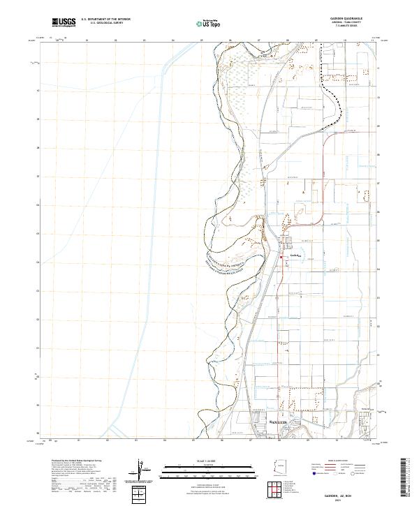
2021 Map of Gadsden
USGS Topo · Published 2021About this map
Gadsden and the northern edge of San Luis occupy a landscape defined by an intricate network of irrigation infrastructure along the international boundary. This portion of the Yuma Desert has been transformed by a dense grid of water management features, including the Noe Canal and Pesch Canal, which feed numerous named laterals. The spatial arrangement of these laterals, such as Barkley Lateral and Larkin Lateral, reveals a highly engineered agricultural environment where the desert floor is segmented by a precise grid of county roads. The western margin of the sheet is dominated by the winding course of the United States and Mexico border, following the natural riverine geography that contrasts sharply with the rigid, human-made geometry of the town sites and irrigation channels to the east.
Find a feature on this map
66 named features on this map. Tap any name to fly to it.
Don’t see what you’re looking for? This feature index may not catch every label — zoom into the map to look around manually.
Map Details
Editions of this 2021 Gadsden Map
This is the sole edition of this map. No revisions or reprints were ever made.
Other maps of this area

1903 · Yuma
USGS Topo · 1:125,000

1905 · Yuma
USGS Topo · 1:125,000

1940 · Yuma
USGS Topo · 1:62,500

1942 · Yuma
USGS Topo · 1:250,000

1945 · Yuma
USGS Topo · 1:62,500

1952 · Yuma West
USGS Topo · 1:24,000

1953 · Grays Well
USGS Topo · 1:24,000
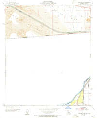
1953 · Grays Well NE
USGS Topo · 1:24,000

1954 · El Centro
USGS Topo · 1:250,000

1955 · El Centro
USGS Topo · 1:250,000