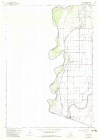
1965 Map of Gadsden
USGS Topo · Published 1982About this map
The Colorado River defines the western edge of this agricultural landscape, forming the international boundary between the United States and Mexico. The survey captures the intricate irrigation network of the Yuma Valley during the mid-1960s, where the West Main Canal and South Main Canal distribute water across a grid of named laterals like the Ingraham Lateral and Cummings Lateral.
Find a feature on this map
38 named features on this map. Tap any name to fly to it.
Don’t see what you’re looking for? This feature index may not catch every label — zoom into the map to look around manually.
Map Details
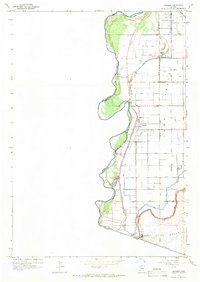
Editions of this 1965 Gadsden Map
2 editions found
Other maps of this area

1903 · Yuma
USGS Topo · 1:125,000

1905 · Yuma
USGS Topo · 1:125,000

1940 · Yuma
USGS Topo · 1:62,500

1942 · Yuma
USGS Topo · 1:250,000

1945 · Yuma
USGS Topo · 1:62,500

1952 · Yuma West
USGS Topo · 1:24,000

1953 · Grays Well
USGS Topo · 1:24,000
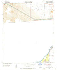
1953 · Grays Well NE
USGS Topo · 1:24,000

1954 · El Centro
USGS Topo · 1:250,000

1955 · El Centro
USGS Topo · 1:250,000