
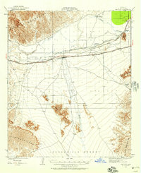
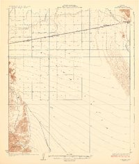
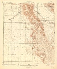
1954 Map of El Centro
USGS Topo · Published 1954About this map
El Centro and the surrounding Imperial Valley represent an engineered oasis where the Colorado River was harnessed to transform the Colorado Desert. The landscape is defined by an intricate network of irrigation, featuring the All American Canal, Coachella Canal, and dozens of smaller arteries like the Lavender Canal and Rose Canal. These waterways support a series of rural communities and schools, including the Lantana School and Alamitos School, which served the farming families of the mid-20th century.
Find a feature on this map
161 named features on this map. Tap any name to fly to it.
Don’t see what you’re looking for? This feature index may not catch every label — zoom into the map to look around manually.
Map Details
Editions of this 1954 El Centro Map
This is the sole edition of this map. No revisions or reprints were ever made.
Other maps of this area

1903 · Yuma
USGS Topo · 1:125,000

1905 · Yuma
USGS Topo · 1:125,000

1907 · Holtville
USGS Topo · 1:125,000

1915 · El Centro
USGS Topo · 1:125,000

1926 · Fortuna
USGS Topo · 1:62,500
1926 · Wellton
USGS Topo · 1:62,500

1926 · Mohawk
USGS Topo · 1:62,500
1928 · Mohawk
USGS Topo · 1:62,500

1928 · Norton
USGS Topo · 1:62,500
1929 · Fortuna
USGS Topo · 1:62,500