
1907 Map of Holtville
USGS Topo · Published 1907About this map
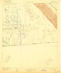
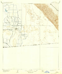
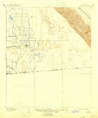
The Alamo River and an extensive network of irrigation canals define the development of the Imperial Valley in the years following the turn of the century. This survey, conducted shortly after the valley was first opened to large-scale agriculture, shows a landscape transitioning from desert to an engineered agricultural hub. The grid-like precision of features such as Oat Canal, Pear Ditch, and Palmetto Ditch highlights the early efforts of the U.S. Reclamation Service to redirect water to the arid basin. Near the southern border with Mexico, Calexico and Holtville serve as the primary hubs, connected by the Holton Interurban railway. To the northeast, the terrain shifts abruptly toward the massive Sand Hills, where the S P R R (S F and N O Line) skirts the dunes, stopping at remote outposts like Glamis and Ruthven.
Find a feature on this map
37 named features on this map. Tap any name to fly to it.
Don’t see what you’re looking for? This feature index may not catch every label — zoom into the map to look around manually.
Map Details
Editions of this 1907 Holtville Map
4 editions found
Other maps of this area

1903 · Yuma
USGS Topo · 1:125,000

1905 · Yuma
USGS Topo · 1:125,000

1915 · El Centro
USGS Topo · 1:125,000

1940 · Brawley
USGS Topo · 1:62,500

1940 · Iris
USGS Topo · 1:62,500

1940 · Heber
USGS Topo · 1:62,500

1940 · Alamorio
USGS Topo · 1:62,500

1940 · Calexico
USGS Topo · 1:62,500

1942 · El Centro
USGS Topo · 1:250,000

1942 · Yuma
USGS Topo · 1:250,000