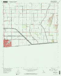
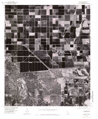
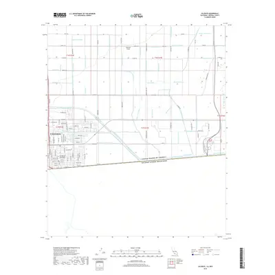
1940 Map of Calexico
USGS Topo · Published 1957About this map
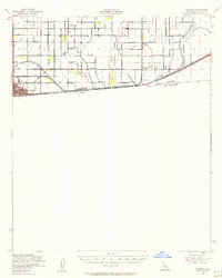
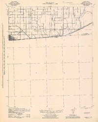
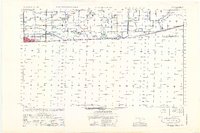
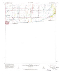
The city of Calexico serves as the focal point for this 1940 survey of the Imperial Valley borderlands, documented just as the massive irrigation infrastructure of the era was transforming the desert into a productive agricultural hub. Situated directly against the United States Mexico border, the grid-laid streets of the town give way to a dense network of water engineering, dominated by the newly constructed All American Canal. The landscape is organized around these water lifelines, where the Alamo River is flanked by a complex system of named channels including the Central Main Canal and the East Highline Canal.
Find a feature on this map
25 named features on this map. Tap any name to fly to it.
Don’t see what you’re looking for? This feature index may not catch every label — zoom into the map to look around manually.
Map Details
Editions of this 1940 Calexico Map
This is the sole edition of this map. No revisions or reprints were ever made.
Historical Maps of Calexico Through Time
10 maps found
1940 Calexico
Imperial County, CA
1943 Calexico
Imperial County, CA
1953 Calexico
Imperial County, CA
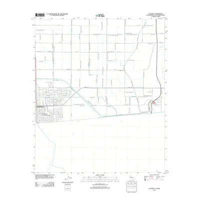
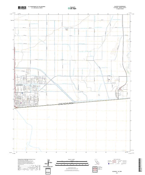
1957 Calexico
Imperial County, CA
1957 Calexico
Imperial County, CA
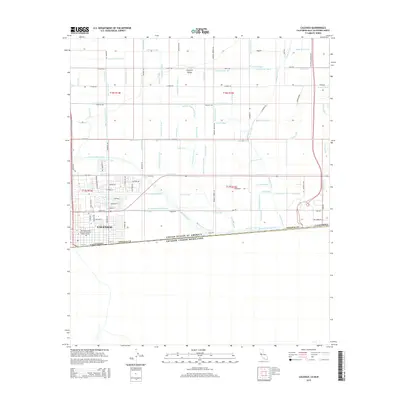
1976 Calexico
Imperial County, CA
2012 Calexico
Imperial County, CA
2015 Calexico
Imperial County, CA
2018 Calexico
Imperial County, CA
2021 Calexico
Imperial County, CA