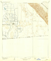
1907 Map of Holtville
USGS Topo · Published 1937About this map
Agricultural development in the Imperial Valley is documented here shortly after the arrival of Colorado River water via the Main Canal. The landscape is a study in human engineering, where a dense grid of irrigation features like the Peach Ditch, Pear Ditch, and Pomelo Ditch carve productive fields out of the desert floor, much of which lies 100 feet below sea level. The Alamo River snakes through the center of this transformation, providing the natural drainage for the emerging settlements of Holtville and Calexico at the international United States Mexico boundary.
Find a feature on this map
39 named features on this map. Tap any name to fly to it.
Don’t see what you’re looking for? This feature index may not catch every label — zoom into the map to look around manually.
Map Details
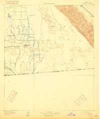
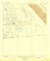
Editions of this 1907 Holtville Map
4 editions found
Other maps of this area

1903 · Yuma
USGS Topo · 1:125,000

1905 · Yuma
USGS Topo · 1:125,000

1907 · Holtville
USGS Topo · 1:125,000

1915 · El Centro
USGS Topo · 1:125,000

1940 · Brawley
USGS Topo · 1:62,500

1940 · Iris
USGS Topo · 1:62,500

1940 · Heber
USGS Topo · 1:62,500

1940 · Alamorio
USGS Topo · 1:62,500

1940 · Calexico
USGS Topo · 1:62,500

1942 · El Centro
USGS Topo · 1:250,000