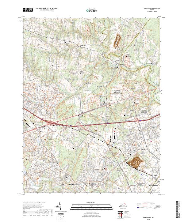
2022 Map of Gainesville
USGS Topo · Published 2022About this map
Manassas National Battlefield Park dominates the central portion of this modern survey, preserving the terrain where Civil War engagements shaped the American landscape. Historic landforms like Henry Hill, Matthews Hill, and Chinn Ridge are meticulously detailed alongside contemporary suburban growth in Linton Hall and Gainesville. The presence of numerous small family burial sites, such as the Haislip Family Cem and Taliaferro Carter Family Cem, offers a sharp contrast to the institutional sprawl of the Northern Virginia Community College Manassas Campus. This intersection of military history and modern development is further highlighted by the proximity of Stonewall Memory Gardens and the Linton Hall Benedictine Monastery Cem to the high-traffic corridors of 66 and 234. The waterway of Bull Run defines the eastern boundary, serving as a permanent geographic anchor while the surrounding communities like Groveton and Wellington continue to evolve.
Find a feature on this map
80 named features on this map. Tap any name to fly to it.
Don’t see what you’re looking for? This feature index may not catch every label — zoom into the map to look around manually.
Map Details
Editions of this 2022 Gainesville Map
This is the sole edition of this map. No revisions or reprints were ever made.
Other maps of this area

1890 · Mt. Vernon
USGS Topo · 1:125,000

1891 · Mt. Vernon
USGS Topo · 1:125,000

1894 · Warrenton
USGS Topo · 1:125,000

1894 · Mt. Vernon
USGS Topo · 1:125,000

1897 · Mt. Vernon
USGS Topo · 1:125,000

1915 · Fairfax
USGS Topo · 1:62,500

1927 · Quantico
USGS Topo · 1:62,500

1933 · Middleburg
USGS Topo · 1:62,500

1940 · Quantico
USGS Topo · 1:62,500

1943 · Quantico
USGS Topo · 1:62,500