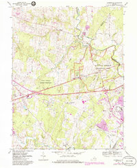
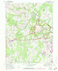
1968 Map of Gainesville
USGS Topo · Published 1986About this map
Manassas National Battlefield Park preserves the complex terrain of the Virginia Piedmont, where historical landmarks like the Stone House, Dogan House, and Henry House stand alongside military geography including Matthews Hill and Battery Heights. The map documents the mid-to-late 20th-century character of Gainesville and Catharpin, showing a transition from the agricultural landscape to suburban developments such as Gypsum Hill Estates and Breezy Knolls Estates.
Find a feature on this map
59 named features on this map. Tap any name to fly to it.
Don’t see what you’re looking for? This feature index may not catch every label — zoom into the map to look around manually.
Map Details
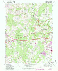
Editions of this 1968 Gainesville Map
6 editions found
Other maps of this area

1890 · Mt. Vernon
USGS Topo · 1:125,000

1891 · Mt. Vernon
USGS Topo · 1:125,000

1894 · Warrenton
USGS Topo · 1:125,000

1894 · Mt. Vernon
USGS Topo · 1:125,000

1897 · Mt. Vernon
USGS Topo · 1:125,000

1915 · Fairfax
USGS Topo · 1:62,500

1927 · Quantico
USGS Topo · 1:62,500

1933 · Middleburg
USGS Topo · 1:62,500

1940 · Quantico
USGS Topo · 1:62,500

1943 · Quantico
USGS Topo · 1:62,500