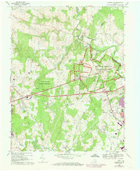
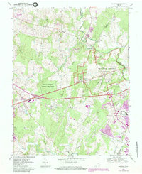
1968 Map of Gainesville
USGS Topo · Published 1973About this map
Manassas National Battlefield Park dominates the eastern portion of this Prince William County terrain, preserving the grounds where Civil War conflicts unfolded near Bull Run. The map detail provides a high-resolution look at the preserved landscape, including significant landmarks like the Stone House, Henry House, and Robinson House, alongside the Groveton Confederate Cem. This 1970s revision captures the area as modern suburban infrastructure begins to skirt the edges of these protected historic sites.
Find a feature on this map
53 named features on this map. Tap any name to fly to it.
Don’t see what you’re looking for? This feature index may not catch every label — zoom into the map to look around manually.
Map Details
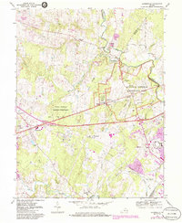
Editions of this 1968 Gainesville Map
6 editions found
Other maps of this area

1890 · Mt. Vernon
USGS Topo · 1:125,000

1891 · Mt. Vernon
USGS Topo · 1:125,000

1894 · Warrenton
USGS Topo · 1:125,000

1894 · Mt. Vernon
USGS Topo · 1:125,000

1897 · Mt. Vernon
USGS Topo · 1:125,000

1915 · Fairfax
USGS Topo · 1:62,500

1927 · Quantico
USGS Topo · 1:62,500

1933 · Middleburg
USGS Topo · 1:62,500

1940 · Quantico
USGS Topo · 1:62,500

1943 · Quantico
USGS Topo · 1:62,500