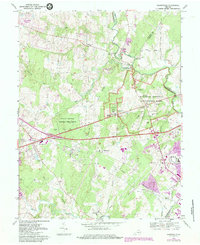
1968 Map of Gainesville
USGS Topo · Published 1984About this map
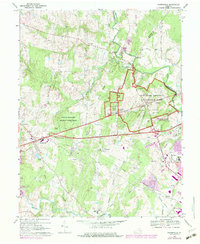
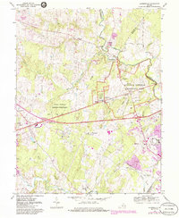
Manassas National Battlefield Park dominates the eastern portion of this landscape, preserving the geography of the Civil War conflicts including Matthews Hill, Bald Hill, and the Stone Bridge. The map details the preserved structural history of the era, from the Stone House to the Groveton Confederate Cem. To the west and south, the map documents a region in transition as rural crossroads like Catharpin and Sudley Springs meet new residential developments such as Breezy Knolls Estates and Gypsum Hill Estates. The Southern railroad line runs through the growing hub of Gainesville, while institutions like the Linton Hall Military Sch and Stonewall Jackson High Sch reflect the mid-century community footprint before the massive suburban expansion of later decades.
Find a feature on this map
60 named features on this map. Tap any name to fly to it.
Don’t see what you’re looking for? This feature index may not catch every label — zoom into the map to look around manually.
Map Details
Editions of this 1968 Gainesville Map
6 editions found
Other maps of this area

1890 · Mt. Vernon
USGS Topo · 1:125,000

1891 · Mt. Vernon
USGS Topo · 1:125,000

1894 · Warrenton
USGS Topo · 1:125,000

1894 · Mt. Vernon
USGS Topo · 1:125,000

1897 · Mt. Vernon
USGS Topo · 1:125,000

1915 · Fairfax
USGS Topo · 1:62,500

1927 · Quantico
USGS Topo · 1:62,500

1933 · Middleburg
USGS Topo · 1:62,500

1940 · Quantico
USGS Topo · 1:62,500

1943 · Quantico
USGS Topo · 1:62,500