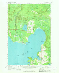
1958 Map of Garden
USGS Topo · Published 1968About this map
Big Bay de Noc dominates the landscape of this 1950s survey, where the timbered lands of the Hiawatha National Forest meet the irregular northern shoreline of Lake Michigan. The settlement at Garden serves as a local hub near Garden Bay, while the industrial and transport history of the region is evident in the path of the Minneapolis St Paul and Sault Ste Marie railroad. The line connects small communities such as St Jacques, Isabella, and Garden Corners, providing a vital link for the area's resource-based economy.
Find a feature on this map
75 named features on this map. Tap any name to fly to it.
Don’t see what you’re looking for? This feature index may not catch every label — zoom into the map to look around manually.
Map Details
Editions of this 1958 Garden Map
3 editions found

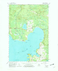
Other maps of this area

1931 · Steuben SW
USGS Topo · 1:31,680

1931 · Cooks NW
USGS Topo · 1:31,680

1932 · Rapid River NE
USGS Topo · 1:31,680

1932 · Burnt Bluff NE
USGS Topo · 1:31,680

1932 · Burnt Bluff NW
USGS Topo · 1:31,680

1932 · Garden NW and SW
USGS Topo · 1:31,680

1932 · Skeels Lake SE
USGS Topo · 1:31,680

1932 · Garden SE
USGS Topo · 1:31,680

1932 · Trenary SE
USGS Topo · 1:31,680

1932 · Rapid River SE
USGS Topo · 1:31,680