Loading...
Loading map...2024 Map of Gay
USGS Topo · Published 2024About this map
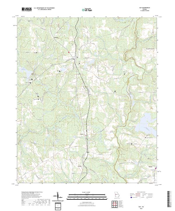
The Flint River forms a significant geographical boundary as it winds through this portion of Georgia, separating Meriwether and Pike Counties. The landscape is defined by its small agricultural settlements and a high density of family burial grounds, suggesting a long-standing pattern of multi-generational land ownership. Communities such as Gay, Oakland, and Imlac are central to the region, connected by a network of rural roads that cross over Red Oak Creek and Walnut Creek.
Find a feature on this map
98 named features on this map. Tap any name to fly to it.
Don’t see what you’re looking for? This feature index may not catch every label — zoom into the map to look around manually.
Map Details
Date Portrayed2024
Date Published2024
PublisherU.S. Geological Survey
Map TypeTopographic
Scale1:24000
Physical Dimensions24 x 29 inches
Editions of this 2024 Gay Map
This is the sole edition of this map. No revisions or reprints were ever made.
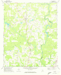
Historical Maps of Oakland Through Time
Featured Locations
Source Details
SourceU.S. Geological Survey
CopyrightPublic Domain