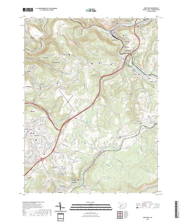
2023 Map of Geistown
USGS Topo · Published 2023About this map
The Johnstown Flood National Memorial serves as a focal point for this landscape, preserving the geography of the 1889 disaster along the South Fork Little Conemaugh River. The terrain is deeply marked by this history, notably through the Path of the Flood Trl which follows the water's destructive course toward South Fork. The map reveals a dense network of small communities and rural cemeteries that define the region's genealogy, including St. Michael, Sidman, and Salix. Educational and infrastructure hubs are prominent in the southern and western portions, with the University of Pittsburgh Johnstown Campus and the John Murtha Johnstown/Cambria County Airport providing modern contrast to the older river settlements. The confluence of the Little Conemaugh River and its various runs, such as Solomon Run and Clapboard Run, dictates the settlement patterns and transportation corridors like the Norfolk Southern line.
Find a feature on this map
66 named features on this map. Tap any name to fly to it.
Don’t see what you’re looking for? This feature index may not catch every label — zoom into the map to look around manually.
Map Details
Editions of this 2023 Geistown Map
This is the sole edition of this map. No revisions or reprints were ever made.
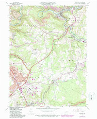
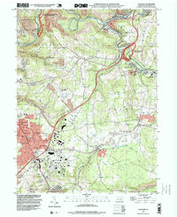
Historical Maps of Croyle Township Through Time
3 maps found