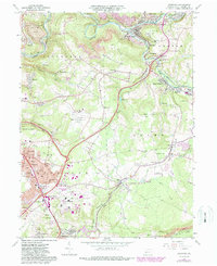
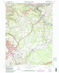
1964 Map of Geistown
USGS Topo · Published 1988About this map
The Johnstown Flood National Memorial and the South Fork Reservoir dominate the landscape northeast of Geistown, marking a terrain defined by the legacy of the Conemaugh valley. In this mid-century period, the area exhibits a dense network of suburban and industrial development, from the Johnstown-Cambria County Airport to the numerous Strip Mine operations scattered across Stonycreek and Richland. The transportation corridors of U.S. 219 and the Conrail rail lines facilitate movement between established settlements like Saint Michael, Salix, and South Fork. This survey documents a complex local geography where historical preservation at the Allegheny Portage Railroad National Historic Site exists alongside active industry, such as the prominent Slag Dump near Parkhill. Genealogists will find a high density of named burial sites, including Forest Lawn Memorial Park, Snavely Cem, and Dunmyer Cem.
Find a feature on this map
68 named features on this map. Tap any name to fly to it.
Don’t see what you’re looking for? This feature index may not catch every label — zoom into the map to look around manually.
Map Details
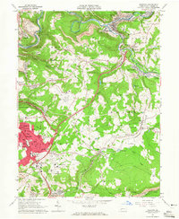
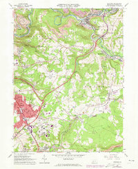
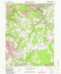
Editions of this 1964 Geistown Map
5 editions found
Other maps of this area

1902 · Ebensburg
USGS Topo · 1:62,500

1904 · Ebensburg
USGS Topo · 1:62,500

1904 · Johnstown
USGS Topo · 1:62,500

1907 · Johnstown
USGS Topo · 1:62,500

1908 · Bedford
USGS Topo · 1:62,500

1910 · Bedford
USGS Topo · 1:62,500

1914 · Windber
USGS Topo · 1:62,500

1916 · Windber
USGS Topo · 1:62,500

1944 · Windber
USGS Topo · 1:62,500

1953 · Pittsburgh
USGS Topo · 1:250,000