Loading...
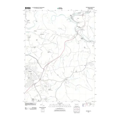
Loading map...1964 Map of Geistown
USGS Topo · Published 1988About this map
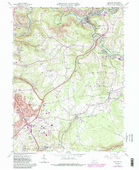
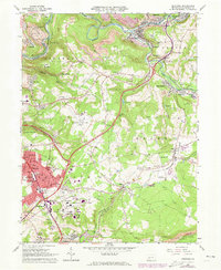
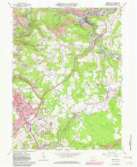
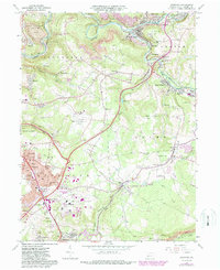
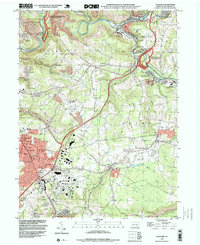
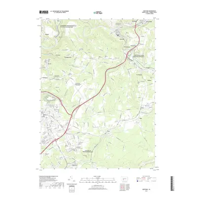
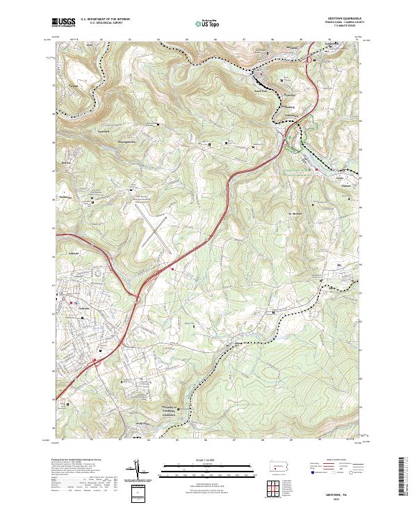
The Johnstown Flood National Memorial and the adjacent South Fork Reservoir Dam Site anchor the eastern side of this landscape, marking the site of the catastrophic 1889 dam failure. Traces of early industrial infrastructure are visible throughout, including the historic Staple Bend Tunnel and portions of the Allegheny Portage Railroad National Historic Site along the Little Conemaugh River. Post-war development is evident in the growth of Geistown and the expansion of the Johnstown-Cambria County Airport.
Find a feature on this map
91 named features on this map. Tap any name to fly to it.
Don’t see what you’re looking for? This feature index may not catch every label — zoom into the map to look around manually.
Map Details
Date Portrayed1964
Date Published1988
PublisherU.S. Geological Survey
Map TypeTopographic
Scale1:24,000
Physical Dimensions22 x 27 inches
Editions of this 1964 Geistown Map
5 editions found

Historical Maps of Stonycreek Township Through Time
7 maps found
Featured Locations
Source Details
SourceU.S. Geological Survey
CopyrightPublic Domain