Loading...
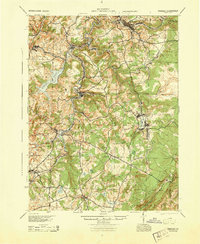
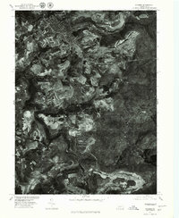
Loading map...1944 Map of Windber
USGS Topo · Published 1944About this map
The industrial and agricultural landscape of Somerset County during the 1940s is defined by its extensive rail networks and water resources. The Pennsylvania and Baltimore and Ohio railroads cut through the terrain, connecting coal and mining hubs like Windber and Central City to the broader regional economy. The massive Quemahoning Reservoir dominates the western portion of the map, serving as a critical water source for the surrounding communities.
Find a feature on this map
94 named features on this map. Tap any name to fly to it.
Don’t see what you’re looking for? This feature index may not catch every label — zoom into the map to look around manually.
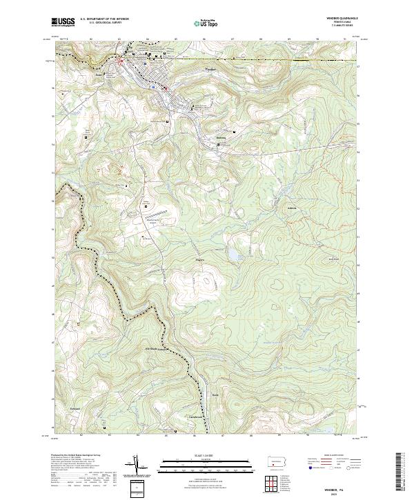
Map Details
Date Portrayed1944
Date Published1944
PublisherU.S. Geological Survey
Map TypeTopographic
Scale1:62,500
Physical Dimensions18 x 21.9 inches
Editions of this 1944 Windber Map
This is the sole edition of this map. No revisions or reprints were ever made.
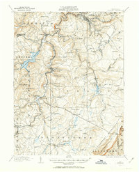
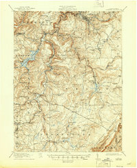
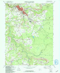
Historical Maps of Windber Through Time
7 maps found

Featured Locations
Source Details
SourceU.S. Geological Survey
CopyrightPublic Domain