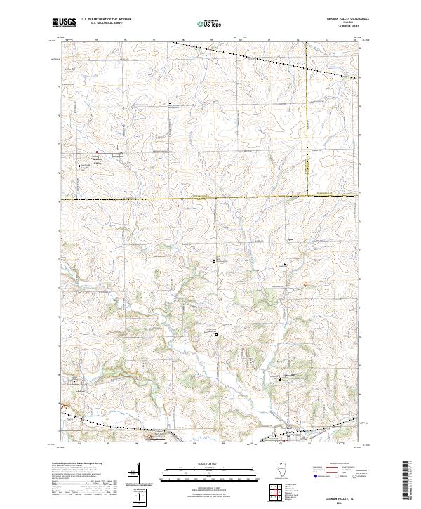
2024 Map of German Valley
USGS Topo · Published 2024About this map
German Valley serves as a central hub in this northern Illinois landscape, where the rolling agricultural terrain of Stephenson, Winnebago, and Ogle Counties converge. The area is defined by its deep-rooted religious and community heritage, evidenced by numerous burial grounds such as the Silver Creek Reformed Cem and Ridott Christian Reformed Cem. These sites, along with several North Grove churches, suggest a history of distinct ethnic or denominational enclaves established during the region's early settlement phase.
Find a feature on this map
69 named features on this map. Tap any name to fly to it.
Don’t see what you’re looking for? This feature index may not catch every label — zoom into the map to look around manually.
Map Details
Editions of this 2024 German Valley Map
This is the sole edition of this map. No revisions or reprints were ever made.
Historical Maps of Adeline Through Time
Featured Locations
- Leaf River Township, IL
- Maryland Township, IL
- German Valley, IL
- Adeline, Maryland Township
- Leaf River, Leaf River Township