
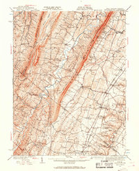
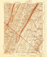
1916 Map of Gerrardstown
USGS Topo · Published 1916About this map
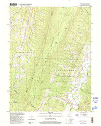
The eastern ridges of the Appalachian Mountains dominate this 1914 survey of the West Virginia and Virginia borderlands. The rugged topography of Sleepy Creek Mountain, Third Hill Mountain, and North Mountain creates a series of isolated valleys where early 20th-century life centered on small crossroads and local institutions. Significant movement and commerce are funneled through the Winchester Turnpike and the Cumberland Valley RR, which support established communities like Gerrardstown and Darkesville.
Find a feature on this map
77 named features on this map. Tap any name to fly to it.
Don’t see what you’re looking for? This feature index may not catch every label — zoom into the map to look around manually.
Map Details
Editions of this 1916 Gerrardstown Map
This is the sole edition of this map. No revisions or reprints were ever made.
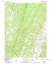
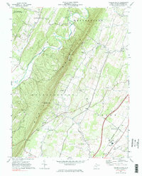
Historical Maps of Martinsburg Through Time
9 maps found

1914 Gerrardstown
Berkeley County, WV
1916 Gerrardstown
Berkeley County, WV
1937 Gerrardstown
Berkeley County, WV
1943 Gerrardstown
Berkeley County, WV
1965 Glengary
Berkeley County, WV
1972 Tablers Station
Berkeley County, WV
1996 Glengary
Berkeley County, WV
2023 Glengary
Berkeley County, WV
2023 Tablers Station
Berkeley County, WV