
1912 Map of Williamsport
USGS Topo · Published 1912About this map
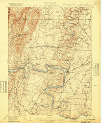
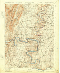
The Potomac River meanders sharply along the tri-state border of Maryland, Pennsylvania, and West Virginia, serving as the central artery for this 1912 survey. Transportation and industry define the landscape, as the Chesapeake and Ohio Canal parallels the river, passing through the Maryland and West Virginia borderlands. The town of Williamsport appears as a significant hub where the Cumberland Valley RR and the Hagerstown and Williamsport Electric Railway intersect. To the west, the Bear Pond Mountains and Fairview Mtn provide a stark topographical contrast to the more developed eastern farmlands. Numerous rural institutions, such as the Independence School and Union Church, are scattered throughout the districts, while the presence of Green Spring Furnace and Maugans Mill suggests a diverse local economy rooted in both milling and early industrial works.
Find a feature on this map
112 named features on this map. Tap any name to fly to it.
Don’t see what you’re looking for? This feature index may not catch every label — zoom into the map to look around manually.
Map Details
Editions of this 1912 Williamsport Map
3 editions found
Other maps of this area

1884 · Harpers Ferry
USGS Topo · 1:125,000

1891 · Harpers Ferry
USGS Topo · 1:125,000

1893 · Harpers Ferry
USGS Topo · 1:125,000

1894 · Winchester
USGS Topo · 1:125,000

1899 · Hancock
USGS Topo · 1:62,500

1900 · Mercersburg
USGS Topo · 1:62,500

1901 · Hancock
USGS Topo · 1:62,500

1902 · Chambersburg
USGS Topo · 1:62,500

1902 · Mercersburg
USGS Topo · 1:62,500

1908 · Middletown
USGS Topo · 1:48,000