
1902 Map of Mercersburg
USGS Topo · Published 1902About this map
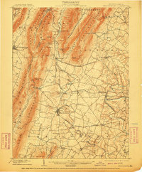
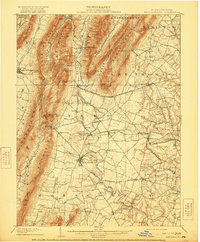
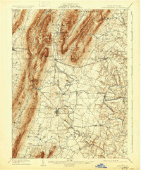
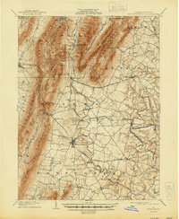
Mercersburg and its surrounding townships in Franklin County are captured here at a moment of transition between 19th-century furnace industry and an established agricultural landscape. The terrain is defined by the steep parallel ridges of Cove Mountain and North Mountain, which create the long, narrow valleys characteristic of the Ridge-and-Valley Appalachians. Industrial history is evident at Richmond Furnace and Franklin Furnace, nodes that speak to the region's early iron production. The Cumberland Valley RR and the Southern Pennsylvania BR are prominent, providing the essential transport links that connected settlements like Lemaster and St. Thomas to wider markets. Roads such as the McConnellsburg Chambersburg and Gettysburg Pike cross the gaps, following ancient paths through the mountains to McConnellsburg. Trace the winding course of the West Branch Conococheague Creek as it flows past Markes and Fort Louden.
Find a feature on this map
62 named features on this map. Tap any name to fly to it.
Don’t see what you’re looking for? This feature index may not catch every label — zoom into the map to look around manually.
Map Details
Editions of this 1902 Mercersburg Map
5 editions found
Other maps of this area

1899 · Hancock
USGS Topo · 1:62,500

1900 · Mercersburg
USGS Topo · 1:62,500

1901 · Hancock
USGS Topo · 1:62,500

1902 · Chambersburg
USGS Topo · 1:62,500

1909 · Hagerstown
USGS Topo · 1:48,000

1912 · Hagerstown
USGS Topo · 1:62,500

1912 · Williamsport
USGS Topo · 1:62,500

1923 · Shippensburg
USGS Topo · 1:62,500

1925 · Needmore
USGS Topo · 1:48,000

1930 · Broad Top
USGS Topo · 1:62,500