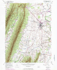
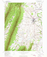
1943 Map of Mercersburg
USGS Topo · Published 1984About this map
The Mercersburg Academy campus anchors the central settlement of Mercersburg in this mid-century portrait of Franklin County. Situated at the base of Cove Mountain, the landscape transitions from the high, forested ridges of the Buchanan State Forest and Tuscarora Game Refuge into a valley floor defined by agricultural life and small community hubs. The presence of numerous named schoolhouses, such as the Montpelier Sch, Claylick Sch, and Shimpstown Sch, suggests a highly localized rural school system still in place at the time of the 1943 field check.
Find a feature on this map
39 named features on this map. Tap any name to fly to it.
Don’t see what you’re looking for? This feature index may not catch every label — zoom into the map to look around manually.
Map Details
Editions of this 1943 Mercersburg Map
6 editions found

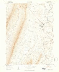
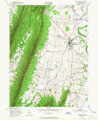
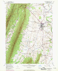
Other maps of this area

1899 · Hancock
USGS Topo · 1:62,500

1900 · Mercersburg
USGS Topo · 1:62,500

1901 · Hancock
USGS Topo · 1:62,500

1902 · Mercersburg
USGS Topo · 1:62,500

1912 · Williamsport
USGS Topo · 1:62,500

1925 · Needmore
USGS Topo · 1:48,000

1935 · Needmore
USGS Topo · 1:62,500

1939 · Needmore
USGS Topo · 1:62,500

1942 · Hagerstown
USGS Topo · 1:125,000

1943 · Hagerstown
USGS Topo · 1:125,000