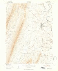
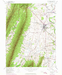
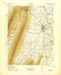
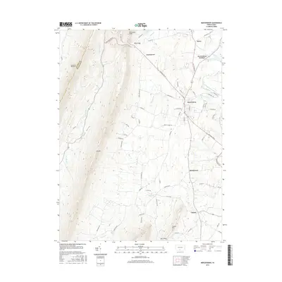
1943 Map of Mercersburg
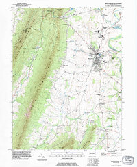
USGS Topo · Published 1952About this map
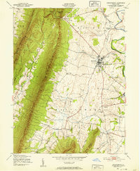
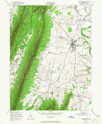
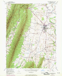
Mercersburg serves as the central hub of this 1943 survey, situated where the Pennsylvania railroad line meets the rolling agricultural landscape of Franklin County. The town is home to the expansive Mercersburg Academy campus and sits at the crossroads of several significant local arteries. To the west, the steep rise of Tuscarora Mountain creates a natural boundary, protected in part by the State Game Refuge and the Buchanan State Forest.
Find a feature on this map
40 named features on this map. Tap any name to fly to it.
Don’t see what you’re looking for? This feature index may not catch every label — zoom into the map to look around manually.
Map Details
Editions of this 1943 Mercersburg Map
6 editions found
Historical Maps of Mercersburg Through Time
11 maps found

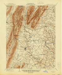
1900 Mercersburg
Franklin County, PA
1902 Mercersburg
Franklin County, PA
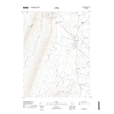
1943 Mercersburg
Franklin County, PA
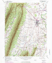
1943 Mercersburg
Franklin County, PA
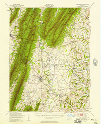
1944 Mercersburg
Franklin County, PA
1990 Mercersburg
Franklin County, PA
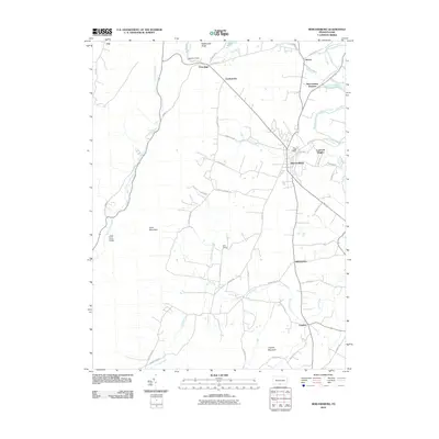
2010 Mercersburg
Franklin County, PA
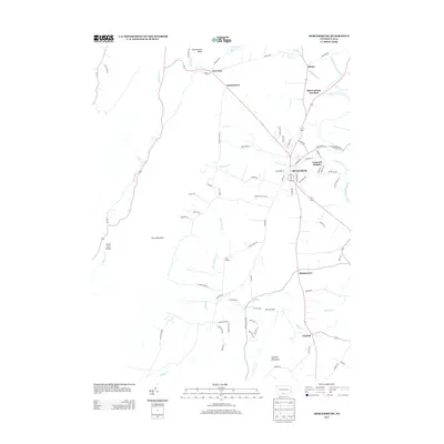
2013 Mercersburg
Franklin County, PA
2016 Mercersburg
Franklin County, PA
2019 Mercersburg
Franklin County, PA
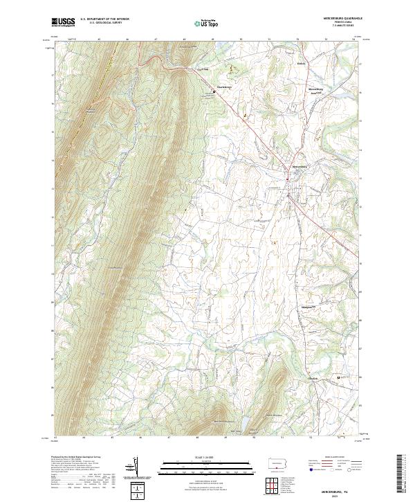
2023 Mercersburg
Franklin County, PA