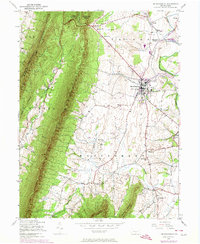
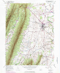
1943 Map of Mercersburg
USGS Topo · Published 1974About this map
Mercersburg sits at a geographic crossroads where the agricultural valley floor meets the steep rise of Cove Mountain. This mid-century survey, updated in the 1970s, captures a transition from rural crossroads to a more established academic and transit landscape. The presence of Mercersburg Academy and a network of named country schools, including Blue Spring Sch and Lafayette Sch, underscores the area's historical investment in education. The Penn Central rail line cuts through Mercersburg Junction and Dickey, reflecting the importance of rail transport to the local economy.
Find a feature on this map
40 named features on this map. Tap any name to fly to it.
Don’t see what you’re looking for? This feature index may not catch every label — zoom into the map to look around manually.
Map Details
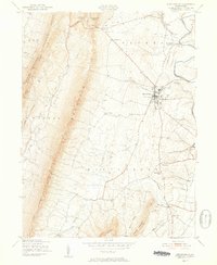
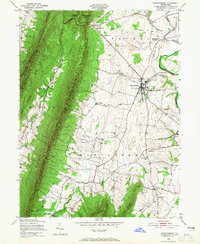
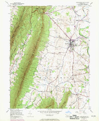
Editions of this 1943 Mercersburg Map
6 editions found

Other maps of this area

1899 · Hancock
USGS Topo · 1:62,500

1900 · Mercersburg
USGS Topo · 1:62,500

1901 · Hancock
USGS Topo · 1:62,500

1902 · Mercersburg
USGS Topo · 1:62,500

1912 · Williamsport
USGS Topo · 1:62,500

1925 · Needmore
USGS Topo · 1:48,000

1935 · Needmore
USGS Topo · 1:62,500

1939 · Needmore
USGS Topo · 1:62,500

1942 · Hagerstown
USGS Topo · 1:125,000

1943 · Hagerstown
USGS Topo · 1:125,000