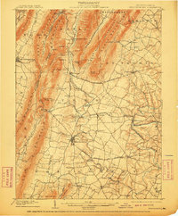
1902 Map of Mercersburg
USGS Topo · Published 1910About this map
The industrial and agricultural corridors of Franklin and Fulton counties are clearly defined in this early 20th-century topographic study. The landscape is dominated by the steep ridges of Tuscarora Mountain and Cove Mountain, which frame the fertile valleys where settlements like Mercersburg and Fort Louden established themselves. This era captures the region's transition from early furnace operations, such as Richmond Furnace and Franklin Furnace, to a more established network of turnpikes and rail.
Find a feature on this map
70 named features on this map. Tap any name to fly to it.
Don’t see what you’re looking for? This feature index may not catch every label — zoom into the map to look around manually.
Map Details
Editions of this 1902 Mercersburg Map
5 editions found
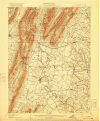
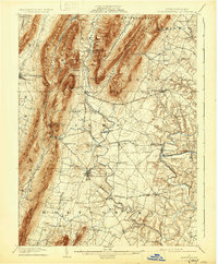
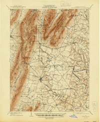
Other maps of this area

1899 · Hancock
USGS Topo · 1:62,500

1900 · Mercersburg
USGS Topo · 1:62,500

1901 · Hancock
USGS Topo · 1:62,500

1902 · Chambersburg
USGS Topo · 1:62,500

1902 · Mercersburg
USGS Topo · 1:62,500

1909 · Hagerstown
USGS Topo · 1:48,000

1912 · Hagerstown
USGS Topo · 1:62,500

1912 · Williamsport
USGS Topo · 1:62,500

1923 · Shippensburg
USGS Topo · 1:62,500

1925 · Needmore
USGS Topo · 1:48,000