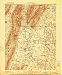
1902 Map of Mercersburg
USGS Topo · Published 1921About this map
Richmond Furnace and Franklin Furnace define the industrial footprint of this south-central Pennsylvania landscape at the turn of the century. The terrain is dominated by the steep ridges of Tuscarora Mountain and Cove Mountain, which flank narrow valleys like Horse Valley and Bear Valley. These natural corridors shaped the early development of timber and mineral extraction, evidenced by the presence of the Highstick Lumber Camp and Kolbach Sawmill near Cowan Gap.
Find a feature on this map
78 named features on this map. Tap any name to fly to it.
Don’t see what you’re looking for? This feature index may not catch every label — zoom into the map to look around manually.
Map Details
Editions of this 1902 Mercersburg Map
5 editions found
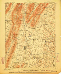
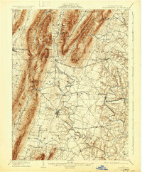
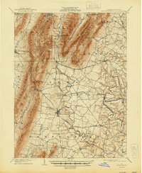
Other maps of this area

1899 · Hancock
USGS Topo · 1:62,500

1900 · Mercersburg
USGS Topo · 1:62,500

1901 · Hancock
USGS Topo · 1:62,500

1902 · Chambersburg
USGS Topo · 1:62,500

1902 · Mercersburg
USGS Topo · 1:62,500

1909 · Hagerstown
USGS Topo · 1:48,000

1912 · Hagerstown
USGS Topo · 1:62,500

1912 · Williamsport
USGS Topo · 1:62,500

1923 · Shippensburg
USGS Topo · 1:62,500

1925 · Needmore
USGS Topo · 1:48,000