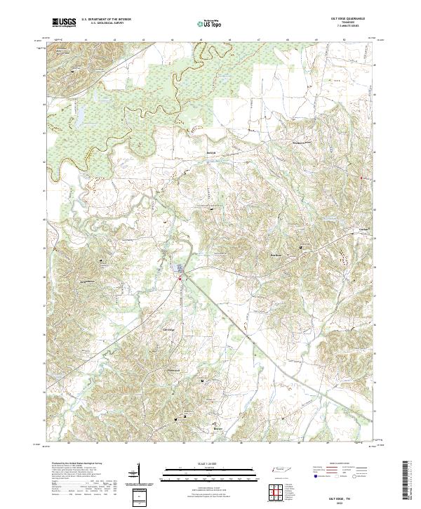
2022 Map of Gilt Edge
USGS Topo · Published 2022About this map
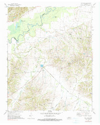
Chickasaw Bluff Number One rises above the lowlands of the Hatchie River valley, marking a distinctive elevation change where the river forms the boundary between Lauderdale and Tipton Counties. This area is characterized by a high concentration of family and community burying grounds, including Old Fulton Road Cem and the Dickens Community Cem, reflecting a landscape deeply tied to its generational residents. Small settlements like Gilt Edge, Burlison, and Garland are connected by a network of rural roads that skirt numerous water bodies such as Shingle Lake and Little Champion Lake. The presence of several canalized waterways, including the Indian Creek Canal, suggests a history of water management to support the agriculture found throughout these bottomlands. Local genealogists may find interest in the scattered rural landmarks, from the Smyrna Cem to the site identified as Ravenscroft near the southern edge of the quadrangle.
Find a feature on this map
96 named features on this map. Tap any name to fly to it.
Don’t see what you’re looking for? This feature index may not catch every label — zoom into the map to look around manually.
Map Details
Editions of this 2022 Gilt Edge Map
This is the sole edition of this map. No revisions or reprints were ever made.