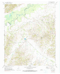
1972 Map of Gilt Edge
USGS Topo · Published 1990About this map
The Hatchie River defines the northern boundary of this West Tennessee landscape, winding through a complex system of backwater oxbows including Little Champion Lake and Shingle Lake. Along the western edge, Chickasaw Bluff No 1 rises above the alluvial plain, part of the historically significant terrain preserved within Fort Pillow State Park. This 1972 survey captures the rural character of Tipton and Lauderdale Counties, centered around the eponymous community of Gilt Edge and the nearby village of Burlison.
Find a feature on this map
40 named features on this map. Tap any name to fly to it.
Don’t see what you’re looking for? This feature index may not catch every label — zoom into the map to look around manually.
Map Details
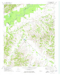
Editions of this 1972 Gilt Edge Map
2 editions found
Other maps of this area

1942 · Millington
USGS Topo · 1:62,500

1954 · Mason
USGS Topo · 1:62,500

1956 · Blytheville
USGS Topo · 1:250,000

1959 · Blytheville
USGS Topo · 1:250,000

1960 · Millington
USGS Topo · 1:62,500

1961 · Rialto
USGS Topo · 1:62,500

1962 · Rialto
USGS Topo · 1:62,500

1963 · Osceola
USGS Topo · 1:62,500

1965 · Osceola
USGS Topo · 1:62,500

1965 · Brighton
USGS Topo · 1:24,000