
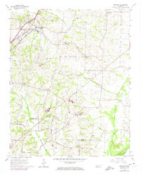
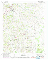
1965 Map of Brighton
USGS Topo · Published 1966About this map
The Illinois Central railroad corridor anchors the settlement of Brighton in this mid-1960s survey of the Tipton and Shelby County borderlands. The landscape transition from the established rail town of Brighton toward more rural hamlets like Idaville, Clopton, and Bloomington reveals a post-war rural economy defined by agriculture and local institutions. Significant landmarks for local historians include the Dunlap Orphanage and the Penal Farm, alongside numerous small country congregations such as Shiloh Ch and Pleasant Grove Ch.
Find a feature on this map
41 named features on this map. Tap any name to fly to it.
Don’t see what you’re looking for? This feature index may not catch every label — zoom into the map to look around manually.
Map Details
Editions of this 1965 Brighton Map
3 editions found
Other maps of this area

1942 · Millington
USGS Topo · 1:62,500

1954 · Mason
USGS Topo · 1:62,500

1956 · Blytheville
USGS Topo · 1:250,000

1959 · Blytheville
USGS Topo · 1:250,000

1960 · Millington
USGS Topo · 1:62,500

1961 · Rialto
USGS Topo · 1:62,500

1962 · Rialto
USGS Topo · 1:62,500

1963 · Osceola
USGS Topo · 1:62,500

1965 · Osceola
USGS Topo · 1:62,500
1965 · Gallaway
USGS Topo · 1:24,000