Old Maps of Brighton, Tennessee
Explore 19 old maps of Brighton, spanning from 1942 to today. These high-resolution historic maps reveal how streets, neighborhoods, landmarks, and natural features evolved over time — perfect for genealogy, metal detecting, research, and local history exploration.
What you can do with these maps:
- See how Brighton changed over time: Compare historical maps to modern-day views to trace roads, homesites, rail lines & more.
- View detailed metadata: Each map includes creators, publishers, year, scale, and archive source.
- Overlay maps with satellite & LiDAR: Visualize the past alongside modern tools to explore terrain & human change.
- Trusted historical sources: Maps sourced from the USGS, Library of Congress, and other archives.
- Access maps your way: View online, download high-res files, or order prints for personal or research use.
Start exploring old maps of Brighton to uncover forgotten places, hidden landmarks, and the deep history beneath your feet.
Brighton, TN maps
(19)- 1942 Map of Millington, 1944 Print
 1942 Millington1944 Print · USGSThe Tennessee-Mississippi borderlands come alive in the 1940s, showing the rural communities between the big river and the rail lines. Genealogists can locate family landmarks like St Johns Church & Cem, Rhodes Store, and Bolton.2 unique versions available
 - 1954 Map of Mason
 1954 Mason1954 Print · USGSWest Tennessee in the mid-1950s shows a landscape of rail-linked towns and deep-rooted rural institutions. Genealogists and researchers can trace family connections at the Dunlap Orphanage, Home Ferry Sch, and numerous sites like St Matthews Sch & Ch.
 - 1956 Map of Blytheville, 1964 Print
 1956 Blytheville1964 Print · USGSWest Tennessee and the Arkansas Delta come alive in this mid-century survey of the river-and-rail corridor connecting Memphis to Jackson. Genealogists and historians can trace the rail lines of the Louisville and Nashville RR and locate landmarks like Western State Hospital or Fort Pillow State Prison Farm.2 unique versions available
 - 1959 Map of Blytheville
 1959 Blytheville1959 Print · USGSWest Tennessee and Northeast Arkansas meet along the river in the late fifties, during a period of steady industrial and agricultural growth. Genealogists can trace the rail corridors of the Illinois Central through Jackson or explore landmarks like Shiloh National Military Park and Fort Pillow State Prison.
 - 1960 Map of Millington, 1963 Print
 1960 Millington1963 Print · USGSMillington and its surrounding farm country are shown here in the early sixties, highlighting a landscape defined by mid-century aviation and deep-rooted rural communities. Researchers can trace the sprawling U S Naval Air Technical Training Center or locate ancestral sites like Helen Crigger Cem and Temple Ch.
 - 1965 Map of Brighton, 1966 Print
 1965 Brighton1966 Print · USGSWest Tennessee rural life is captured here in the mid-sixties as the Illinois Central railroad connects small communities across the Tipton and Shelby county line. Genealogists and local historians can locate many family landmarks, from the Dunlap Orphanage to the Morrison Cem and Shiloh Ch.3 unique versions available
 - 1969 Map of Mason
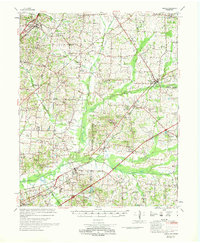 1969 Mason1969 Print · USGSWest Tennessee in the late sixties reveals a landscape of rural junctions and evolving infrastructure across Tipton, Shelby, and Fayette counties. Genealogists can trace family names at Dunlap Orphanage or local schools like Bloomington Sch and St Mathews Sch.
 - 1971 Map of Munford, 1973 Print
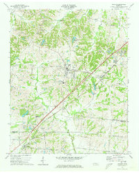 1971 Munford1973 Print · USGSWest Tennessee rural life centers on the rail corridor between Munford and Atoka in the early seventies. Genealogists can trace family roots through numerous local landmarks like Ellis Sch, St Marks Ch, and the Adams Cem.3 unique versions available
 - 1986 Map of Memphis East
 1986 Memphis East1986 Print · USGSWest Tennessee in the mid-eighties shows the meeting point of Memphis suburban growth and the deep bottomlands of the Hatchie River. Genealogists and historians can trace rail-town development along the Southern Railway and locate major landmarks like Ames Plantation and the U S Naval Air Station.2 unique versions available
 - 2010 Map of Brighton, 2010 Print
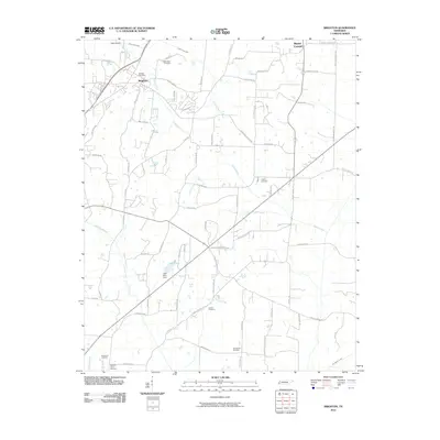 2010 Brighton2010 Print · USGSTipton County at the start of the 2010s shows a landscape of growing rural communities and essential water infrastructure. Researchers can locate numerous local burial sites like Clopton Cemetery and Rosemark Cemetery, or trace the path of the Indian Creek Canal.
 - 2010 Map of Munford, 2010 Print
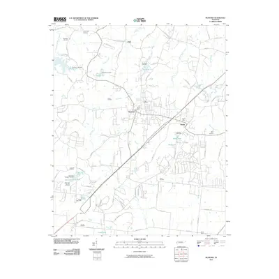 2010 Munford2010 Print · USGSMunford and Atoka are shown in detail during a period of modern growth in Tipton County. Researchers can locate numerous family burial sites such as Crigger Cemetery and Saint Johns Cemetery or trace the winding course of Big Creek.
 - 2013 Map of Munford, 2013 Print
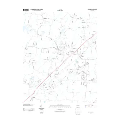 2013 Munford2013 Print · USGSTipton County’s southern corridor shows significant residential growth and connectivity at the start of the 2010s. Researchers can trace the development of established towns like Munford and Atoka alongside rural landmarks such as Hagys Corner and Gin House Lake.
 - 2013 Map of Brighton, 2013 Print
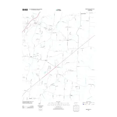 2013 Brighton2013 Print · USGSTipton County’s agricultural heartland is documented here in the early 2000s, showing a complex network of drainage canals and small crossroads communities. Researchers can trace local genealogy and land use through labels like Brighton, Idaville, and Parsons Field Airport.
 - 2016 Map of Munford, 2016 Print
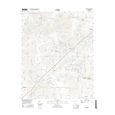 2016 Munford2016 Print · USGSTipton County undergoes significant residential growth during the mid-2010s as the areas around Munford and Atoka expand. Researchers can trace older community roots through local landmarks like Saint Johns Cem, Hagys Corner, and Hopewell.
 - 2016 Map of Brighton, 2016 Print
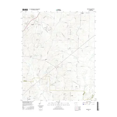 2016 Brighton2016 Print · USGSTipton County in the mid-2010s reveals a patchwork of small communities and family burial grounds connected by an intricate network of canalized creeks. Genealogists can trace local landmarks like Morrison Cem and Rosemark Cem near Brighton and Idaville.
 - 2019 Map of Munford, 2019 Print
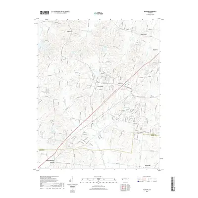 2019 Munford2019 Print · USGSTipton and Shelby Counties come into focus during this period of growth between Millington and Brighton. Researchers can trace family history at Campground Cemetery or locate old community hubs like Hagys Corner and Crosstown.
 - 2019 Map of Brighton, 2019 Print
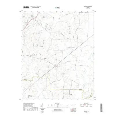 2019 Brighton2019 Print · USGSTipton County at the close of the 2010s shows a landscape of small communities and managed waterways near the Shelby County line. Researchers can trace local heritage through sites like Morrison Cem, the settlement of Mudville, and the waters of Lake Ellen.
 - 2022 Map of Munford, 2022 Print
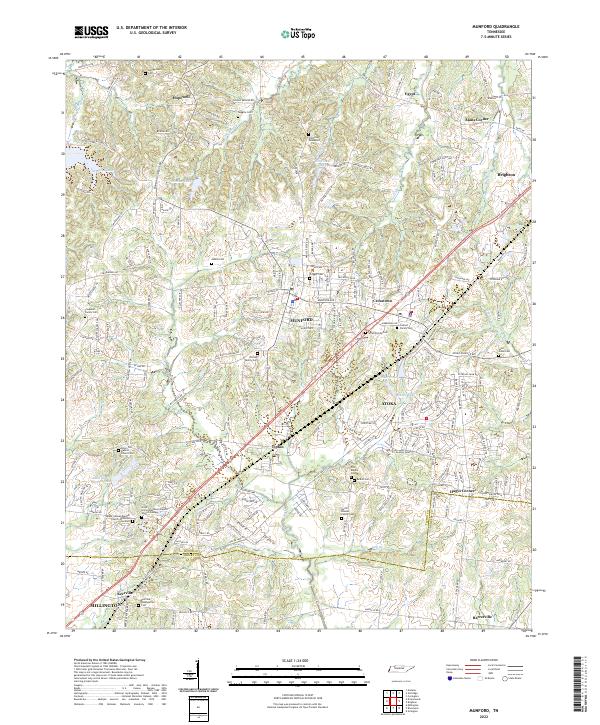 2022 Munford2022 Print · USGSThe growing communities of Munford and Atoka are captured here in the early twenty-first century, showcasing a landscape where modern development meets deep-seated family history. Researchers can trace dozens of legacy sites, from the Old Craig Graveyard and Coward Family Cem to the local congregations at Kerrville Presbyterian Cem.
 - 2022 Map of Brighton, 2022 Print
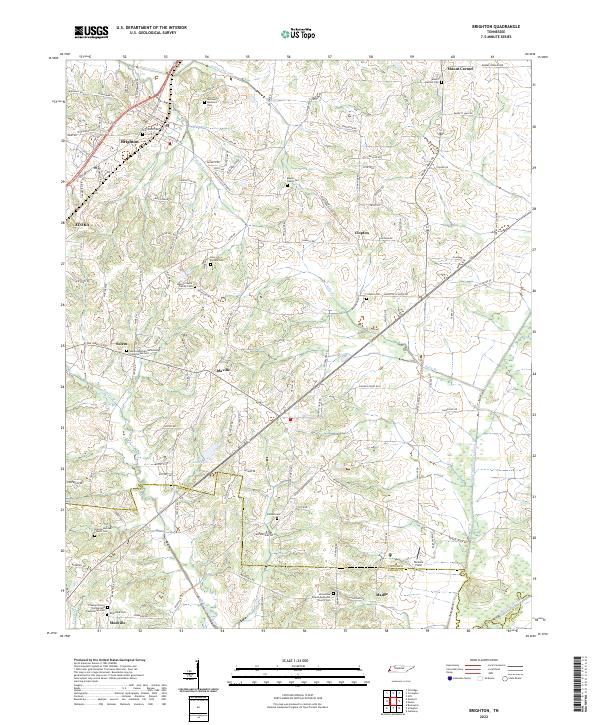 2022 Brighton2022 Print · USGSThe outskirts of Tipton and Shelby counties are shown here in the early twenty-first century, featuring a landscape defined by historic family settlements. Genealogists can trace roots through numerous local landmarks, from the Banyan Payne Family Cem to the rural centers of Idaville and Mudville.
End of results
Showing maps 1-19 of 19
Top cities near Brighton
- Memphis historical maps
- Bartlett historical maps
- Lakeland historical maps
- Millington historical maps
- Covington historical maps
- Osceola historical maps
See more
Frequently asked questions
- What are the different types of historical maps available for Brighton?
- What is the oldest map of Brighton?
- Where can I purchase historical maps of Brighton for my home or office?
- Where can I download high-res historical maps of Brighton?
- Are there historical topographic maps available for Brighton?
- Is there historical aerial imagery available for Brighton?
- Where are historical maps of Brighton sourced from?