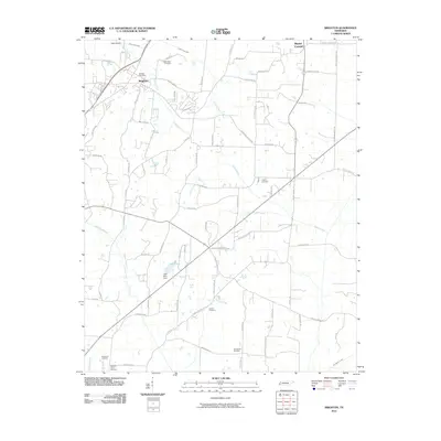
2010 Map of Brighton
USGS Topo · Published 2010About this map
Brighton serves as a central hub in this western Tennessee landscape, where the town’s grid meets a sprawling network of rural roads and drainage infrastructure. The community is defined by its connection to local aviation at Cates Airport and the civic presence of the Brighton Post Office. Water management is a visible priority across the terrain, evidenced by the straightened path of the Indian Creek Canal and the Lake Ellen Dam south of town.
Find a feature on this map
74 named features on this map. Tap any name to fly to it.
Don’t see what you’re looking for? This feature index may not catch every label — zoom into the map to look around manually.
Map Details
Editions of this 2010 Brighton Map
This is the sole edition of this map. No revisions or reprints were ever made.
Other maps of this area

1942 · Millington
USGS Topo · 1:62,500

1954 · Mason
USGS Topo · 1:62,500

1956 · Blytheville
USGS Topo · 1:250,000

1959 · Blytheville
USGS Topo · 1:250,000

1960 · Millington
USGS Topo · 1:62,500

1961 · Rialto
USGS Topo · 1:62,500

1962 · Rialto
USGS Topo · 1:62,500

1963 · Osceola
USGS Topo · 1:62,500

1965 · Osceola
USGS Topo · 1:62,500

1965 · Brighton
USGS Topo · 1:24,000